The Hiking Trails of Acadia
This week we were lucky enough to have Margie Brown of the Olmsted Center with us–and she just so happens to be an expert on the hiking trails of the park, as she authored the Cultural Landscape Report for Mount Desert Island’s historic hiking trail system. Not surprisingly, the trail system was created very much in the same manner the rest of the park was–by many different people, through many different historical lenses, from different views, at different times. The Native Americans first forged “carry trails” to transport their canoes to and from different parts of the island, European settlers established “cart paths” to move their materials and goods, and early village and tourist associations created the first recreational paths designed to help preserve the natural beauty of the island for future generations. Later, the Civilian Conservation Corps would also build trails and picnic areas, which are still largely intact today.
Unlike the carriage roads, which were developed by one person with one vision, the trails reveal a much higher level of inconsistency–but very much like the carriage roads, many decisions had to be made about the maintenance, preservation, and revitalization of the trails. The style and design of the trails reflect their engineers and architects, their place in history, and their intended use–they’re living fossils in which we can experience Acadia’s landscape just as past generations did. So with both the carriage roads and the hiking trails, it’s not just about gluing the pieces back together for people to look at like a museum–we still use these resources and interact with their features every day! And with higher and more diverse levels of use, it’s difficult to be totally true to history. The trick is to strike a balance between the past and the present (oh yeah, and the future too!), and to preserve the history embedded in the landscape while enabling it to withstand its many patrons. Materials, construction techniques, and environmental sensitivity are key, and the park seems to understand that perfectly.
So we decided to check it out for ourselves.
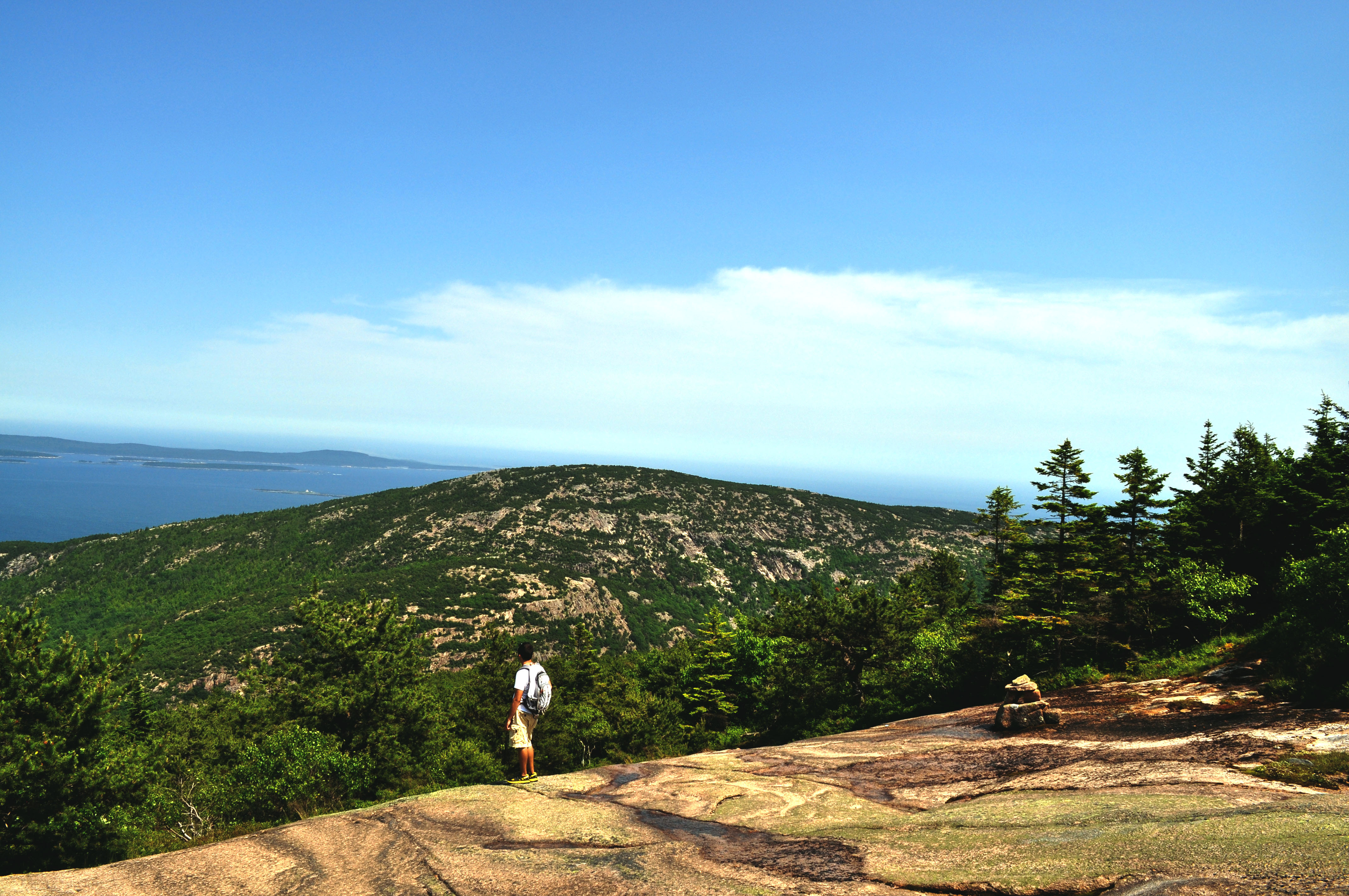
Meg and I, looking for a shortcut back to the car after a day of inventorying, took a trail from the carriage roads and accidentally found ourselves atop Connor’s Nubble. A happy accident it was!
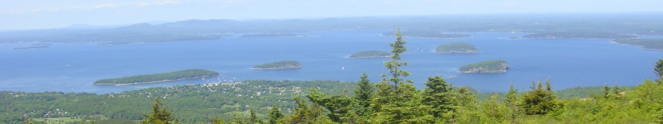
Panoramic from the top
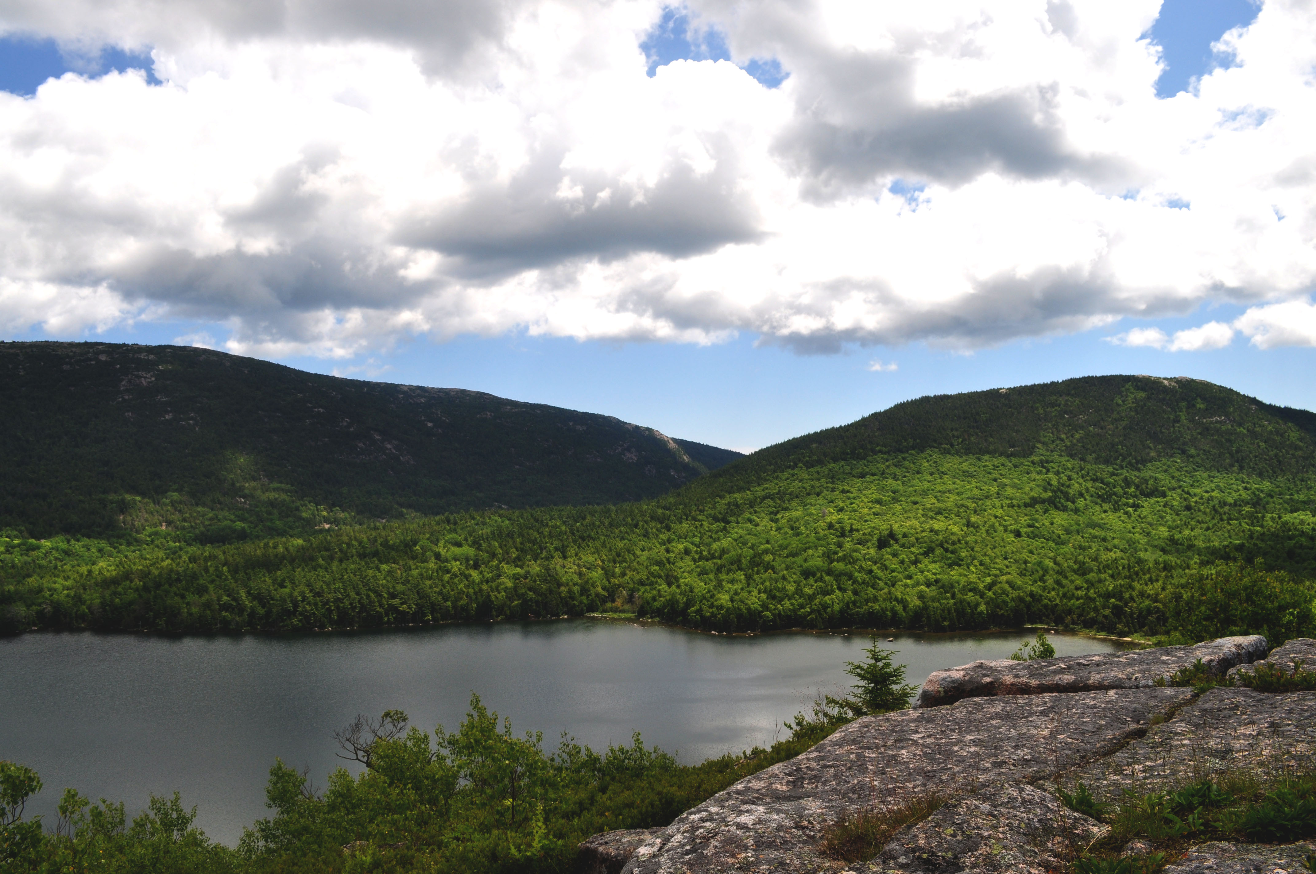
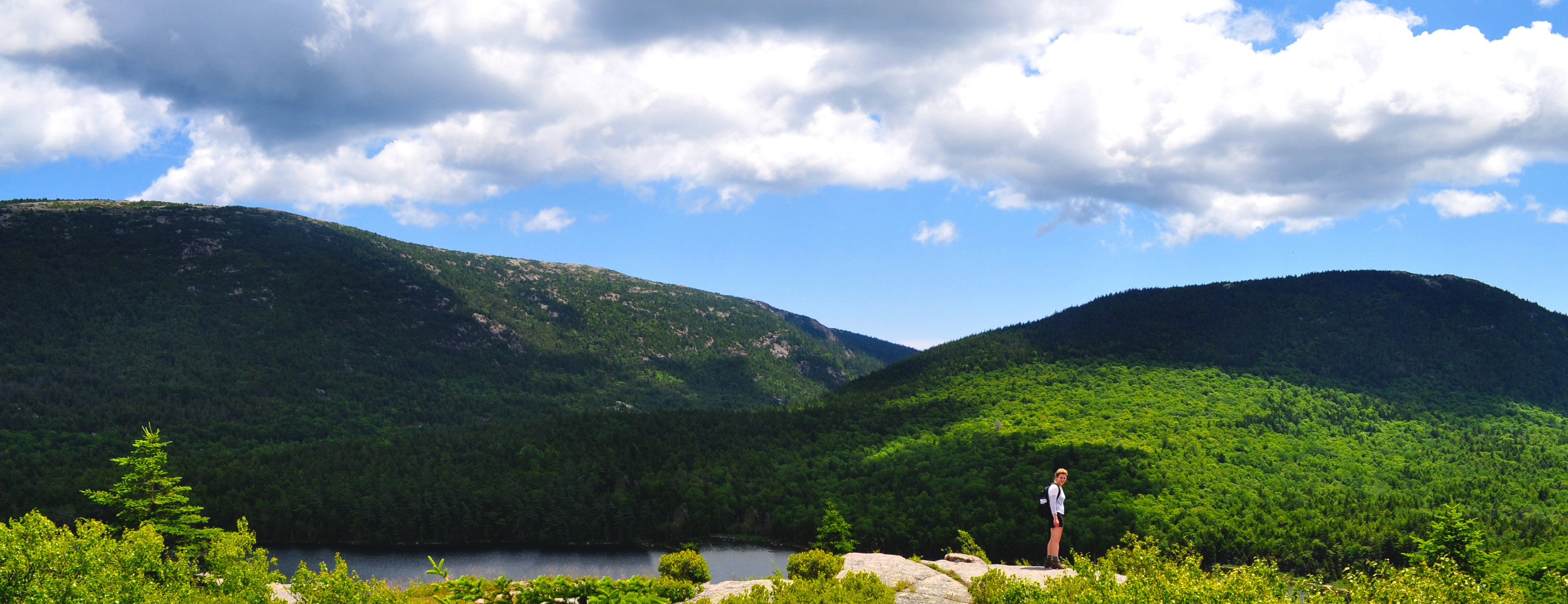
View of Eagle Lake

Meg at the summit
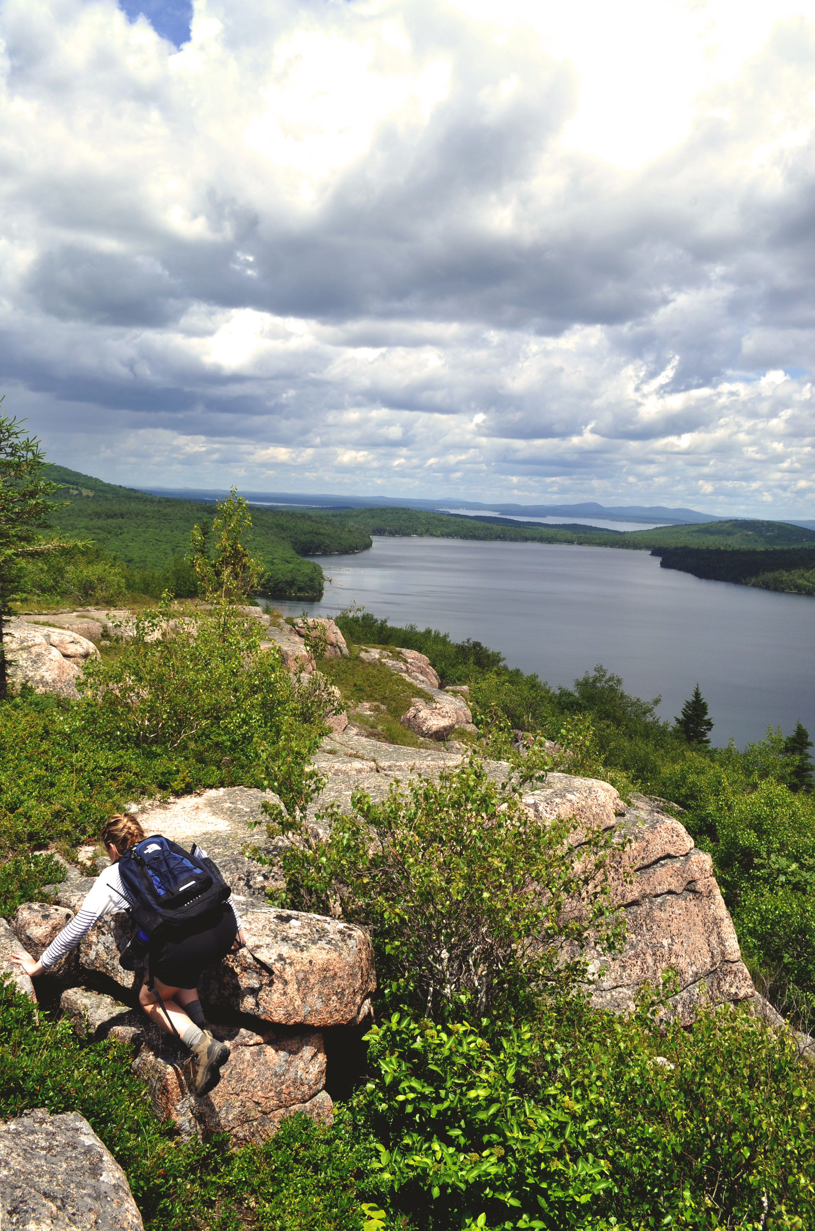
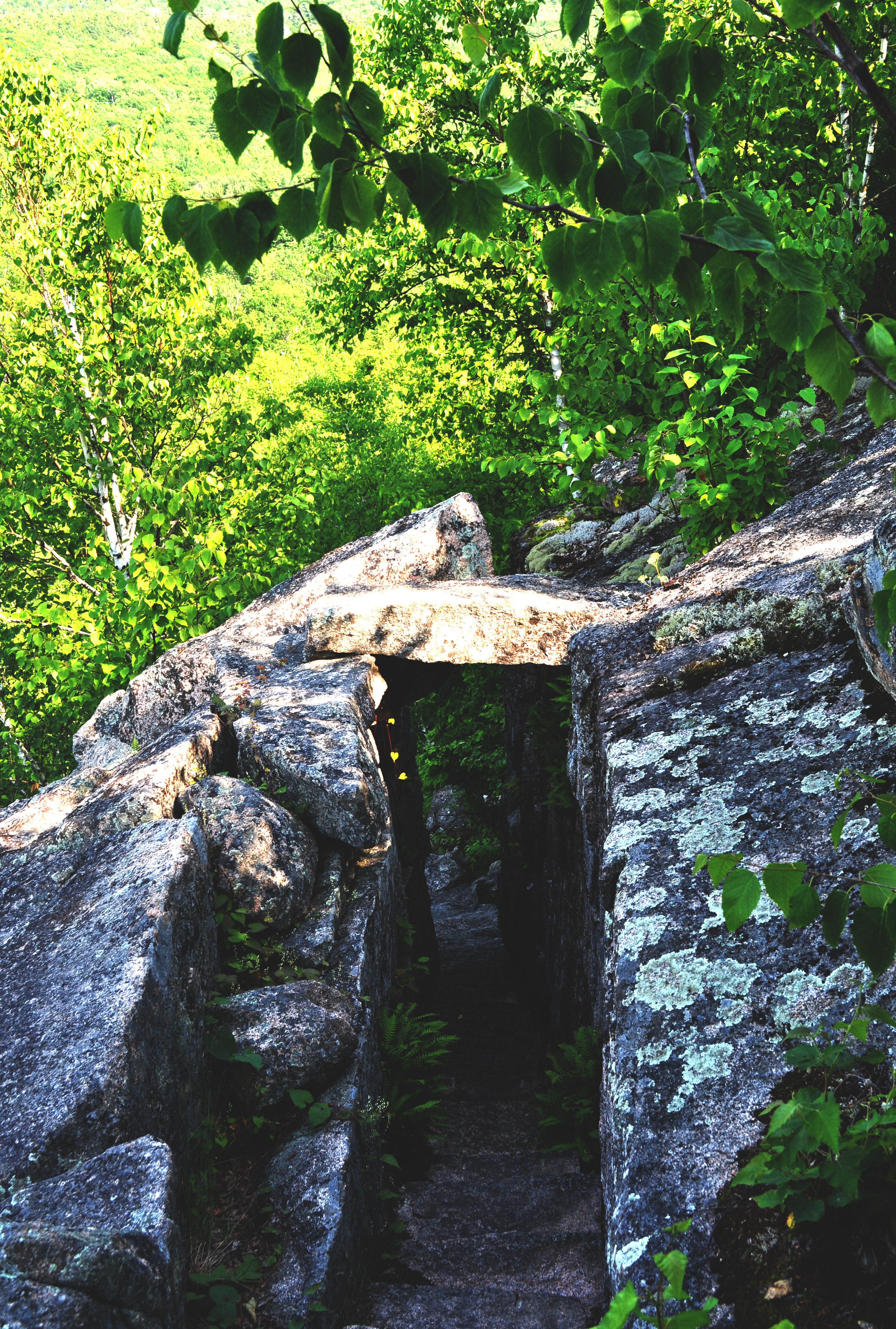
Getting over a tricky rock
We also took a trip to Sieur de Monts as a group, traversed Dorr Mountain, and took the Homan trail on the way down. The stonework was just as incredible as the view from the top!

A never ending set of steps
Homan Trail
Ben looking at Champlain Mt. from half-way up Dorr!

Ben, Meg, Cathy, and Tutku coming down the Homan trail

Great photos and nice descriptions–keep it up!